
Enjoy exploring this page location by celestial navigation, BUT ONLY AFTER COMPLETING the foundational La Rochelle exercise.
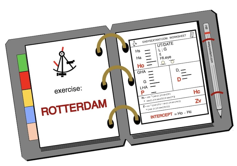
This page focuses on the Rotterdam exercise. You can find the others on the Celestial Course page.
The main goal of these exercises is to calculate and understand how to calculate the line of position with the sun in daytime.
“La Rochelle”is the first in a series of eight identical exercises, each named after a major city in the world near the simulated sextant observations.
While the La Rochelle exercise is for free, the answers for the remaining exercises can be bought in the store.
The accuracy of your estimated Dead Reckoning (D.R.) position directly influences the size of your intercept. If your D.R. position is well-estimated, your intercept will be minimal.
Conversely, if you haven’t observed the sun for several days, experienced varied weather conditions, and your intercept exceeds 30 miles, it is advisable to reset and begin a new with a new Dead Reckoning position, as illustrated in the accompanying image below.

Firstly, on this page Rotterdam you will find all the sextant sun sight observations required after taking a sun sight at sea off the coast of Rotterdam

Location by celestial navigation: start of the exercise Rotterdam


print/download PDF worksheet or copy by hand
First part of the sheet of the sun sight observations
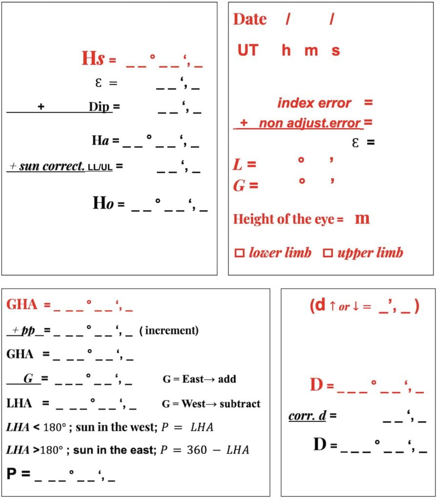
Firstly, start manually completing the red entries on this page.

lower limb
Location by celestial navigation
Time UT and Date

DAY = Saturday; DATE = 11/06/2022; UT Time = 08:54:01

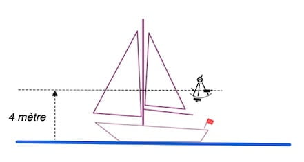
eye height
Latitude (L) :
52° 08′ North
Longitude (G) :
003° 54′ East
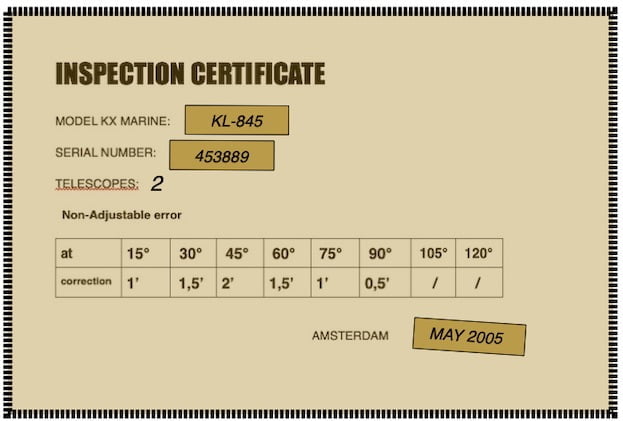
daily page

Also this daily page has been downloaded on the nauticalalmanac.it website with the kind permission of its author Capt. Roberto Iori

Location by celestial navigation Rotterdam:
The sea off the coast of Rotterdam
Indeed, the sea off the coast of Rotterdam, historically, has been part of the North Sea, a body of water that connects the Atlantic Ocean to Northwestern Europe.
In fact, in the 16th century, Rotterdam, a major port city in the Netherlands, played a significant role in maritime trade and commerce. The city’s strategic location facilitated trade routes and contributed to the economic growth of the region during the Age of Exploration.
The waters off the coast of Rotterdam would have been bustling with sailing vessels engaged in international trade, transporting goods such as spices, textiles, and raw materials.
The maritime activities during this period laid the foundation for Rotterdam’s future as one of the world’s largest and busiest ports. The sea off Rotterdam’s coast, like many other maritime regions, witnessed the dynamics of exploration, trade, and cultural exchange during this historical era.