

All these celestial essentials elements are intricately woven into the two fundamental pages: the “LaRochelle Exercise page“, guiding you to the “Interactive Worksheet”
CELESTIAL ESSENTIALS:

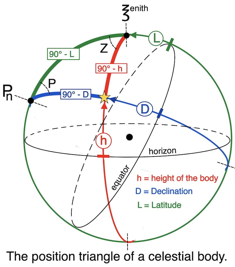
THE PRINCIPLE of the sun sight
_ Apparent sextant height of the sun
_ Observed sextant height of the sun
CELESTIAL ESSENTIALS:
_ How to calculate the declination of the sun
intercept and line of position
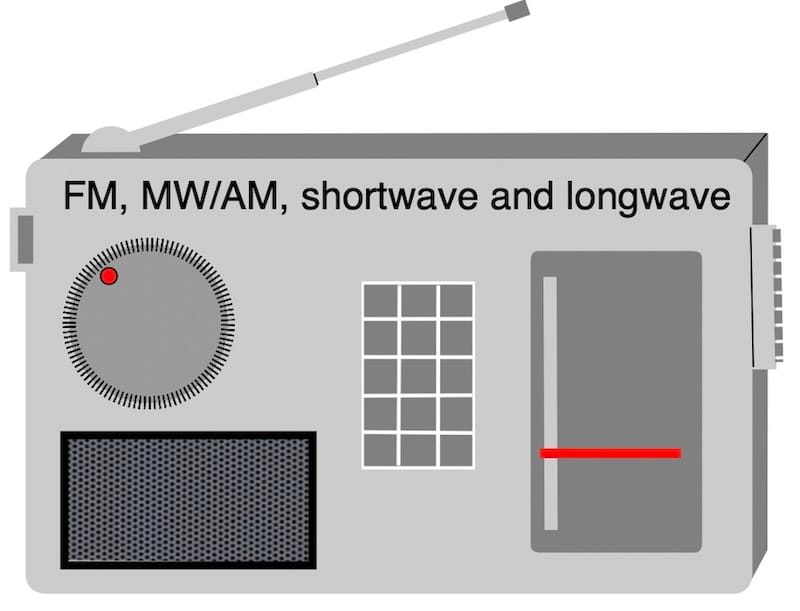
_ How to calculate the GHA at the exact time of the observation
LHA and P (Local hour and polar angle)
_ How to calculate the sun’s local hour angle
CELESTIAL ESSENTIALS: The essentials above are necessary for understanding the line of position.
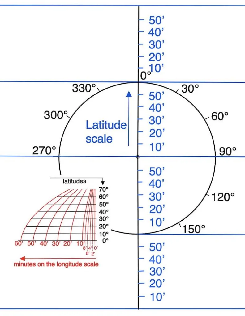
On a nautical chart, someone locates themselves on a straight line called a line of position.
In summary, while a Line of Position indicates that the vessel’s location is somewhere along that line, it does not provide a precise fix on its location.
Indeed, to determine a vessel’s location accurately, you need to intersect at least two LOPs.
Firstly, take an initial observation with the sextant to measure the height of the sun above the horizon and calculate the LOP.
Then, Take a second observation some time later when the sun moves from east to west and changes its azimuth angle.
Finally, calculate the new LOP and intersect these two position lines to determine your location.

CELESTIAL ESSENTIALS:
Hence, the main goal of this website is to provide information on how to calculate the LOP (Line of Position).
In fact, a minimum level of navigational knowledge is required for this course.
That is to say, placing a geographical point on a map, drawing a course line, and measuring a distance in nautical miles.
